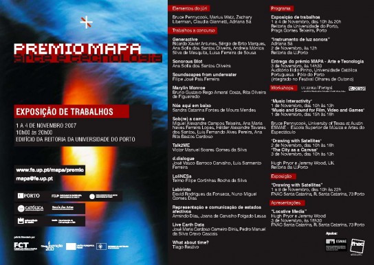
A proto-FUTUREPLACES project. Once upon a time there was a creative consortium called MAPA, a series of informal activities gathering researchers in the arts from U.Porto, U.Católica and U.Aveiro. The UTAustin-Portugal program in digital media was then taking its first steps, and its coordination board decided to sponsor a series of workshops in late 2007.
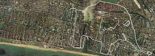
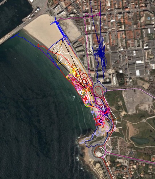
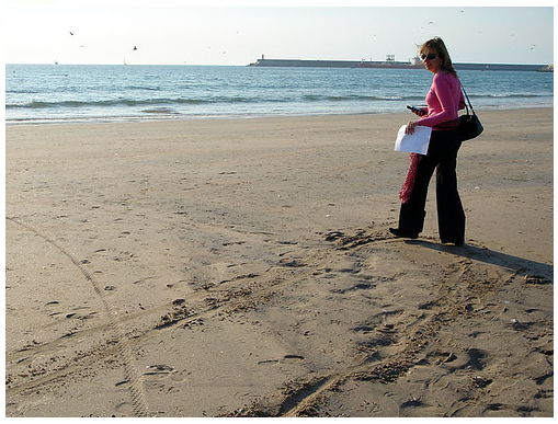
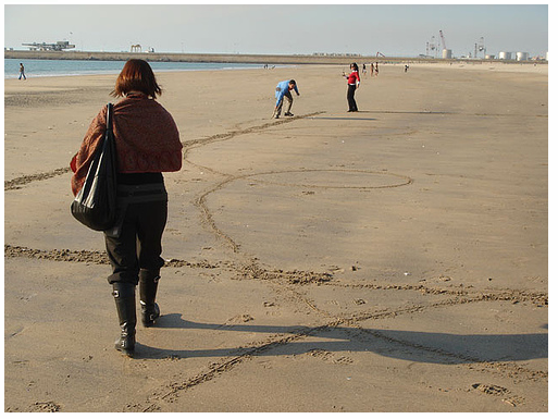
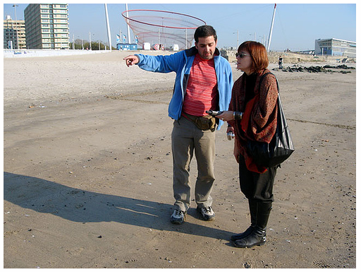
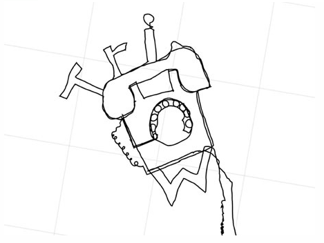
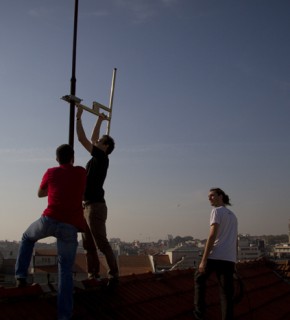
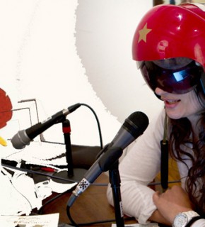
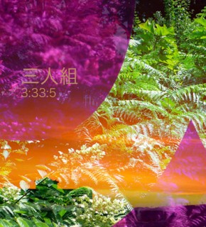
In come Hugh Pryor and Jeremy Wood, and Drawing With Satellites / The City as a Canvas. These are some of the images, both of the two-day workshop and the outcomes. The resolution isn’t the best, but one keeps digging into the boxes, so there is hope for more and better documentation. This portal also links to further info, and this flickr page has an extensive visual record of the MAPA festival goings-on.